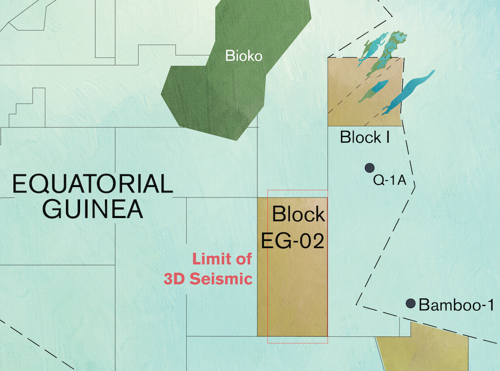
The initial interpretation report of a seismic survey on Block EG-02 has defined prospects in the block that bear similarities to discoveries in Blocks I and O in the Douala Basin.

Covering an area of 1,535 square kilometers, Block EG-02 is in the Douala Basin offshore Equatorial Guinea. A 1,200 square kilometer 3D seismic survey carried out over the area of the block has displayed a number of Tertiary stratigraphic trap leads which could represent an extension of the petroleum system seen in the the Aseng and Alen oil and gas discoveries in Blocks I and O to the northeast of the block.
Equatorial Guinea
Block EG-02
Entry Date
December 2012
PSC duration
1st Phase (5 years): drill one well (drill-or-drop)
2nd Phase (3 years): drill one well
3rd Phase (2 years): drill one well
Shareholders
Atlas Petroleum International (7.27%)
PanAtlantic Oil & Gas (Operator, 72.73%)
GEPetrol (20% carried interest)
Area of block
1,535 sq. km
Water depth
1,800-2,000 meters
Activity to date
Purchase the existing 1,200 sq. km 3D seismic survey of the block.
Number of prospects
17
Current activity
The field operator has delivered the initial interpretation report that defines prospects in the Miocene and Eocene as well as leads in the Cretaceous.
